Logbook & flights

Every flight. The whole story.

Your logbook, ADS-B tracks, takeoff and landing weather, and recorded flight data, in one connected view.

Start free See a sample pilot

30-day free trial, then $9.99 a month. Card required; no charge until the trial ends. Cancel anytime.

KRGK → KRNH · Sample flight
Sample flight · N300PNKRGK → KRNH October 7, 2026
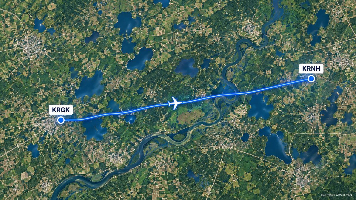
Satellite map of a flight's ADS-B track from KRGK to KRNH (illustrative)
Takeoff · KRGK
10:18 VFR
220° · 11 kt gusting 19
KRGK 071618Z 22011G19KT 10SM FEW025 SCT080 22/14 A2992
Landing · KRNH
10:41 MVFR
210° · 8 kt
KRNH 071641Z 21008KT 6SM BKN030 18/12 A2990
23 minTotal time
Runway 22Landing runway
ADS-B trackMatched to your flight

Illustrative sample data

Keep your logbook. Add the context.

Your flights, in one place, with the details that bring them to life.

Import the logbook you already keep.

Bring a ForeFlight export, or a CSV or Excel file. Columns are matched by name, and with AI for the ones names don't settle; you review the match before anything is imported.

ForeFlight · Garmin Pilot · MyFlightbook · LogTen · spreadsheets

ForeFlight, CSV, Excel or a photo of a paper page. Review the matches before importing.

Your columnRead as
DateDate
Tail #Aircraft
RouteFrom and To
HobbsTotal time
LdgsAll landings
  • DateDate
  • Tail #Aircraft

See where every flight took you.

Flights in your aircraft are matched to the public ADS-B archive: each leg's takeoff and landing times, and the runway used.

When more than one flight that day fits, you choose the right one.

Each leg's track, local times and runway.

FromToTakeoffLandingTimeRunway
KRGKKRNH10:1810:4123 min22
KRNHKRGK11:3011:5525 min27
KRGK KRNH10:18 – 10:41

The weather when you flew.

The METAR at each takeoff and landing, timed by the track or your recorder's GPS clock, and the TAF in effect at takeoff: category, wind and the crosswind on your runway, with the full report.

No weather station at the field? The nearest one that reports, within 25 nm, and it says so.

The METAR at takeoff and landing, and the TAF in effect.

Takeoff · KRGK
10:18 VFR
220° · 11 kt gusting 19
KRGK 071618Z 22011G19KT 10SM FEW025 SCT080 22/14 A2992
Landing · KRNH
10:41 MVFR
210° · 8 kt
KRNH 071641Z 21008KT 6SM BKN030 18/12 A2990
TAF · in effect at takeoffTAF KRGK 071520Z 0716/0816 22010G18KT P6SM FEW025 SCT080
KRGK10:18VFR
KRNH10:41MVFR

Bring your flight and engine data together.

Upload a Bolder Flight recording or an engine monitor file to a flight and see its readings on that flight's page.

Files are read on your device; only the readings are saved.

Upload recorder and engine files to each flight.

Altitude Airspeed
10:2010:2510:3010:3510:40
Load factor
3.2 g
Indicated airspeed
142 kt
CHT · Cylinder 3
396 °F
Oil pressure
82 psi
142 ktIndicated airspeed396 °FCHT · Cylinder 3

Explore more of Hangar Metric

Running a flight school?See fleet utilization, aircraft costs and operating profit, for every aircraft by tail number.See fleet utilization, aircraft costs, and more.
Explore flight schools

Every flight has more to tell.

Your logbook, flight data, weather and more, in one clear view.

Start free See a sample pilot

30-day free trial, then $9.99 a month. Card required. Cancel anytime.